
Navigating The Pekoe Trail
How to walk Sri Lanka’s flagship tea-country long-distance trail: stages, fitness, guides, weather windows, and packing for misty ridges.
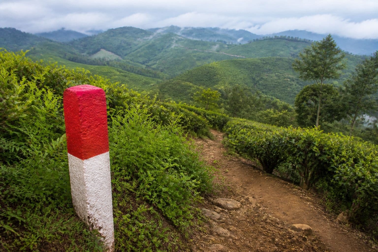
The Pekoe Trail is a waymarked long-distance walking route through Sri Lanka’s central highlands — tea estates, Tamil estate villages, eucalyptus belts, and ridge viewpoints between towns such as Hatton, Bogawantalawa, Haputale and beyond. You can hike individual stages as day walks or link multi-day sections with guesthouse or estate bungalow stays.
Planning walkthrough
Pick stages that match fitness (some days are short and rolling; others accumulate serious ascent). Download offline maps and the latest official stage notes before you lose signal. Start early to beat heat and afternoon mist. Carry cash for estate-shop snacks; card coverage is thin between towns.
Guide or self-guided
First-timers benefit from a local guide for estate access etiquette, bus/tuk-tuk links at stage ends, and weather calls on exposed ridges. Experienced trekkers can self-guide with GPS tracks but should still respect private estate rules and no-drone customs.
Weather & seasons
Hill country can be cool, wet and foggy even when coasts are fine — especially under the Yala monsoon. Carry a shell, warm layer, and non-cotton base. Trails get slippery; proper shoes matter more than fashion sneakers. After heavy rain, skip ridge days and drop to valley roads.
Logistics combo
Use trains or a driver to position between trailheads so you are not forced into unsafe hitchhiking with heavy packs. We can pair Pekoe stages with the scenic train and a support vehicle — ask for a tea-country walking itinerary.